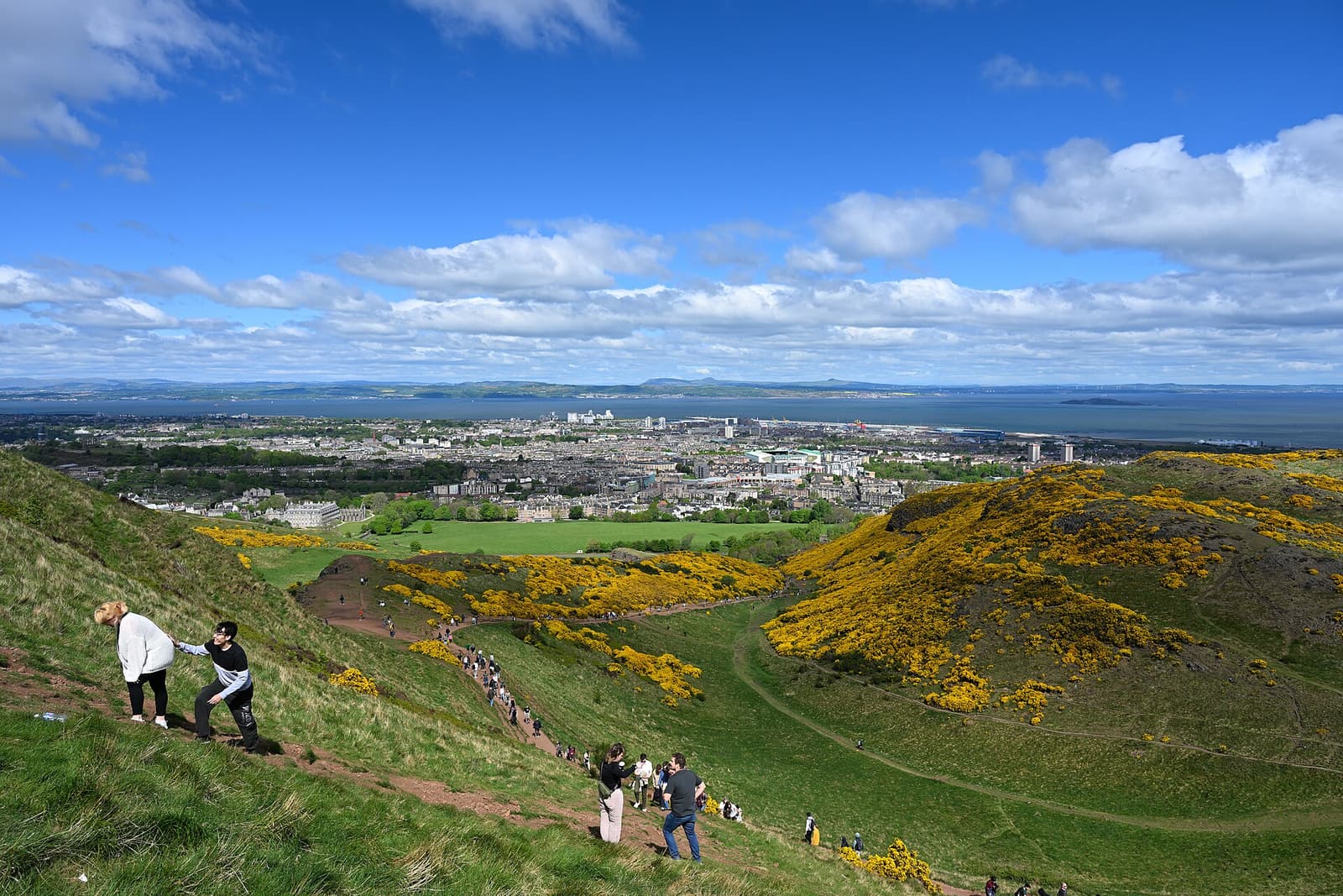
Arthur’s Seat is not out of town: it is in the middle of Edinburgh, and the main entrance to Holyrood Park is at the foot of the Royal Mile, beside the Palace of Holyroodhouse and the Scottish Parliament. Most visitors simply walk there.
The four ways into the park
- Holyrood (north-west) — the main entrance, opposite the palace. Start here for the classic route via St Anthony’s Chapel, for Salisbury Crags and for Hunter’s Bog.
- Holyrood Park Road (south-west) — beside the Royal Commonwealth Pool. Handy for the Southside, Hutton’s Section and the southern end of the crags.
- Meadowbank / St Margaret’s Loch (north) — for the loch, the chapel and the Dry Dam route.
- Duddingston (south-east) — for the village, the loch and Jacob’s Ladder up to Dunsapie.
On foot from the city centre
From Waverley station, leave by the Market Street exit, climb to the Royal Mile and turn downhill: you reach Holyrood in 15–20 minutes. A flatter alternative runs along Calton Road, behind the station. From Edinburgh Castle, walk the whole Royal Mile downhill in 25–30 minutes. From the Southside and the university, Holyrood Park Road is ten minutes from the National Museum.
By bus
Lothian Buses run the city network. Services along the Canongate and Holyrood Road stop by the Parliament and Dynamic Earth, a couple of minutes from the park gate; many more run along Dalkeith Road for the Holyrood Park Road entrance, along London Road for St Margaret’s Loch, and to Duddingston. Route numbers change from time to time, so use the Lothian app or Google Maps for the current service. You can pay by tapping a contactless card or phone, and daily fares are capped.
The hop-on hop-off sightseeing buses from Waverley Bridge all stop at Holyrood.
From Edinburgh Airport
The tram runs from the airport to the city centre in about 35 minutes; get off at St Andrew Square for Waverley station and walk or take a bus from there. The Airlink express bus takes around 30 minutes to Waverley Bridge and runs day and night. A taxi direct to Holyrood takes 25–40 minutes depending on traffic.
| From | How | Time | Notes |
|---|---|---|---|
| Waverley station | Walk via the Royal Mile | 15–20 min | Downhill; uphill coming back |
| Edinburgh Castle | Walk the Royal Mile | 25–30 min | All downhill |
| Princes Street | Bus or walk | 15–25 min | Check the Lothian app |
| Edinburgh Airport | Tram or Airlink + walk | 55–70 min | Tram to St Andrew Square |
| Old Town to Dunsapie Loch | Taxi | About 10 min | Only when the High Road is open |
| Summit to Duddingston | Walk via Jacob’s Ladder | About 30 min | Steep steps |
By car, and the park road closures
Driving is the least convenient way to visit. Queen’s Drive loops round the park, and there are car parks at Broad Pavement beside the palace (pay and display), at St Margaret’s Loch, at Dunsapie Loch and at Duddingston Loch. All are small and fill quickly on fine days.
Coaches and commercial vehicles are not normally allowed on the park roads. If you are staying in central Edinburgh, leave the car where it is.
By bike
Queen’s Drive is a popular cycling circuit, especially when closed to cars, and the traffic-free Innocent Railway path runs along the south side of the park to Duddingston. Cycling is not permitted on the hill paths themselves.
Accessibility
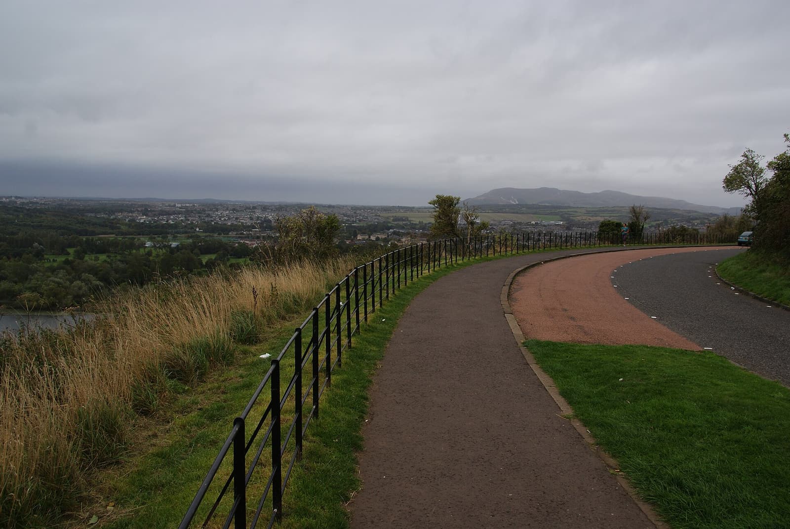
The summit paths are steep and rough and are not suitable for wheelchairs or pushchairs. The surfaced path round St Margaret’s Loch and the pavements along Queen’s Drive are level and give fine views of the hill; when the High Road is open to cars, the roadside at Dunsapie Loch gives a high-level view with almost no walking.
Getting to Edinburgh
Edinburgh Waverley is on the East Coast Main Line, about 4 hours 20 minutes from London King’s Cross and under an hour from Glasgow. The airport has direct flights from much of Europe and from North America and the Gulf. Once you are here, the Old Town, the New Town and Holyrood Park are all within walking distance of each other. For somewhere to sleep near the hill, see where to stay.